

Introduction
Below we have retained the information which was published and shared in relation to the first consultation event on 29 October 2024. For the updated information in relation to the second consultation event, which will be held in person on 27 March 2025, please click here.
Site Location
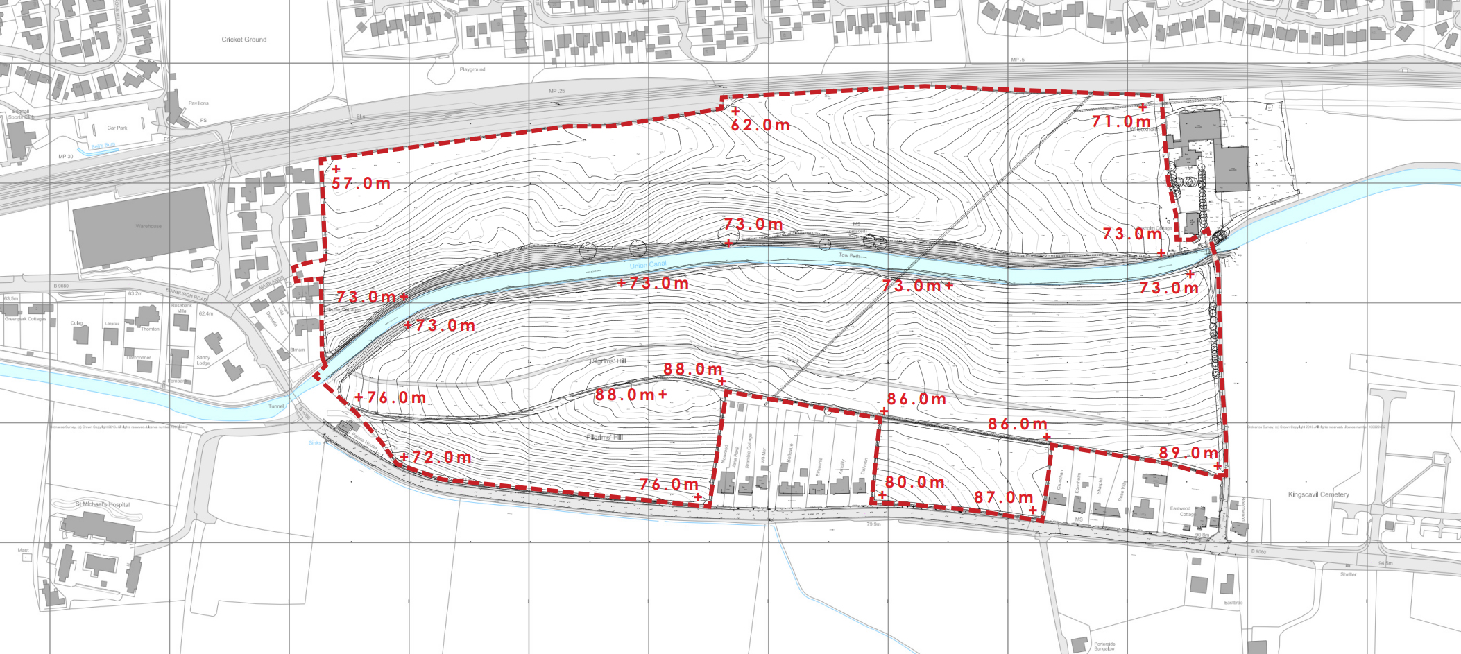
The site sits on the south eastern edge of Linlithgow and comprises the H-LL 11 housing allocation. This application relates predominantly to the land to the south of the Union Canal which runs through the middle of the site on an east / west alignment. The site is accessed from the B9080 to the south, and is bounded to the west by existing residential development. To the east is the existing Wilcoxholm Farm and associated farmland.

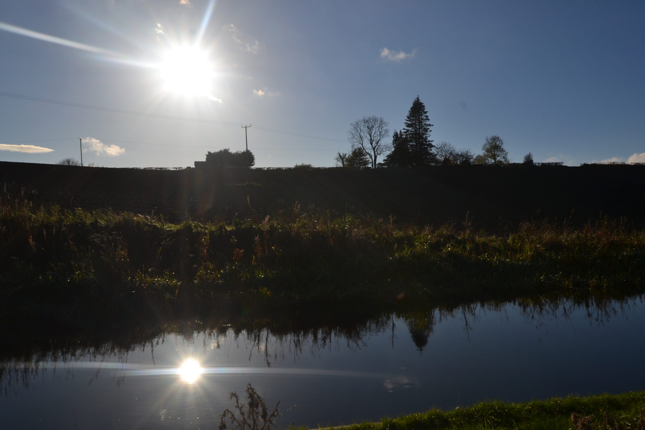
Site Photography
-

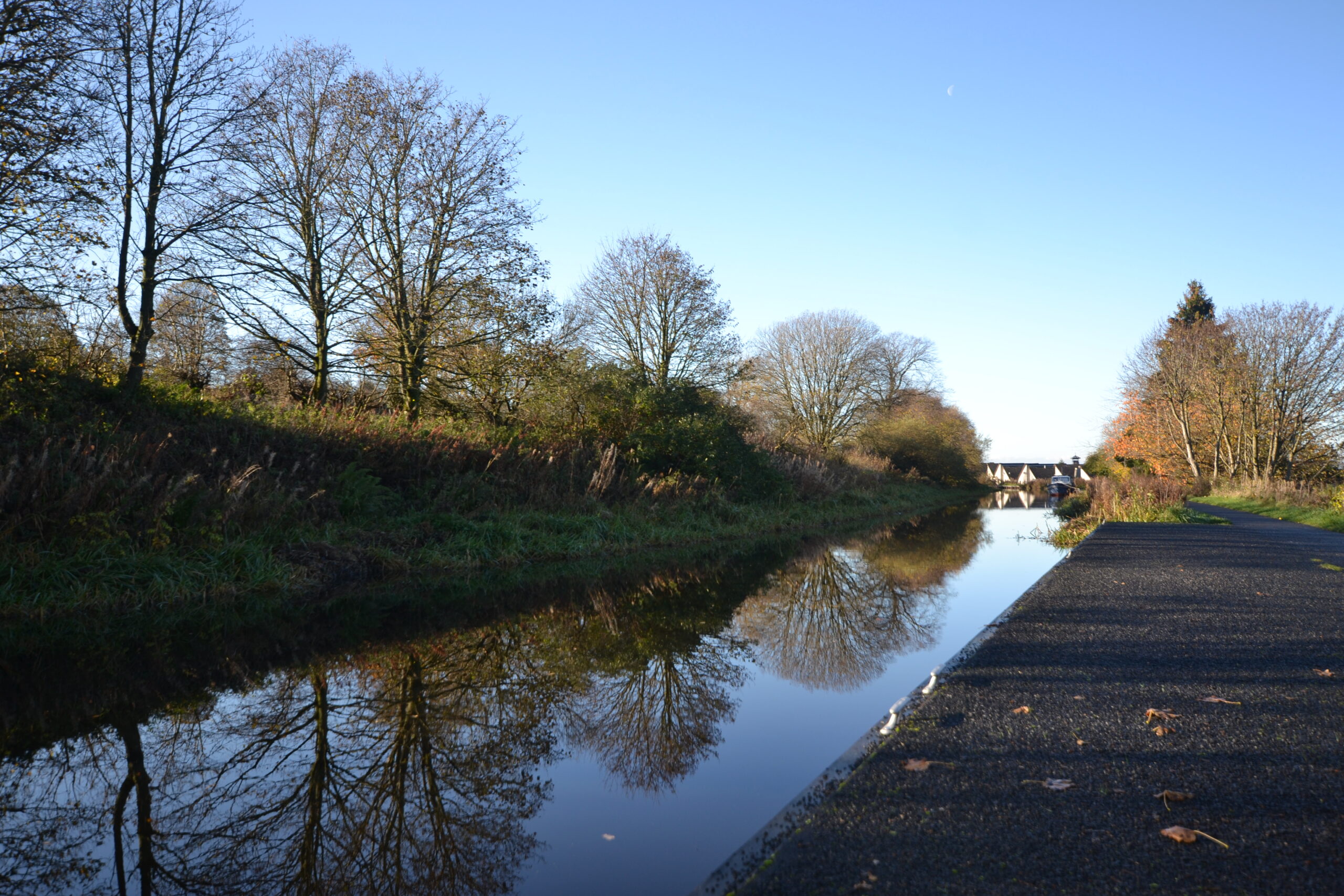
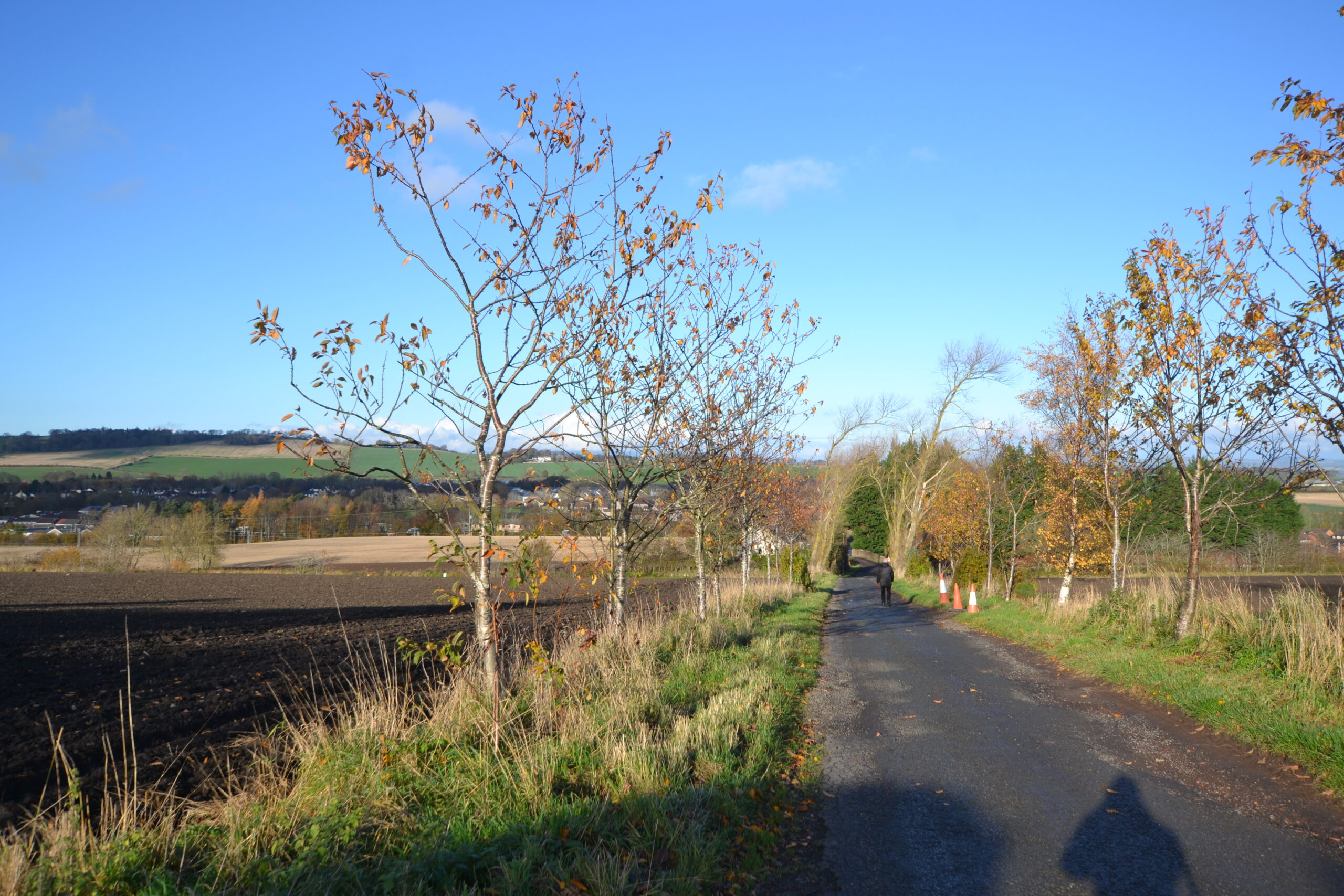
- Union Canal Towpath into Linlithgow
-
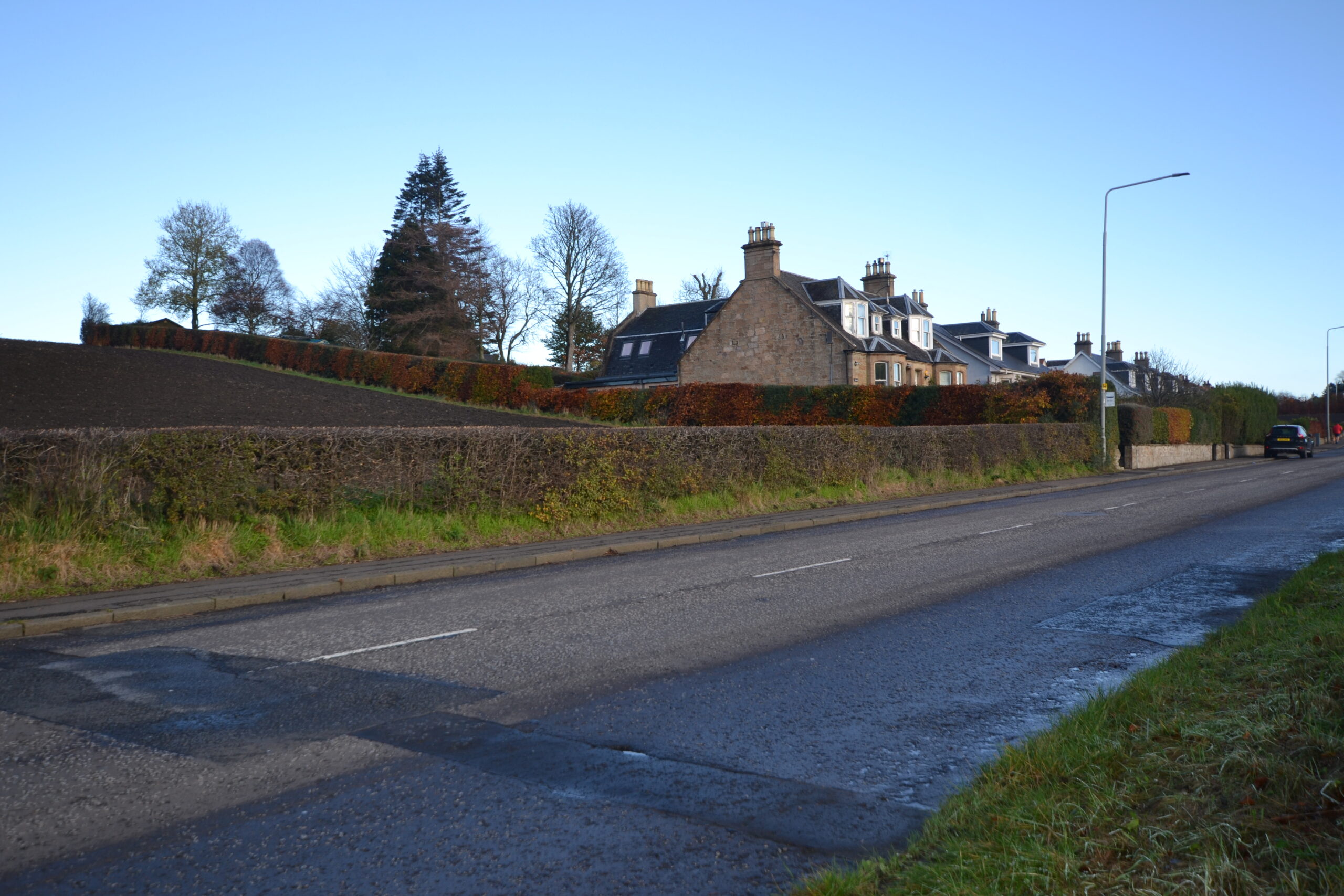
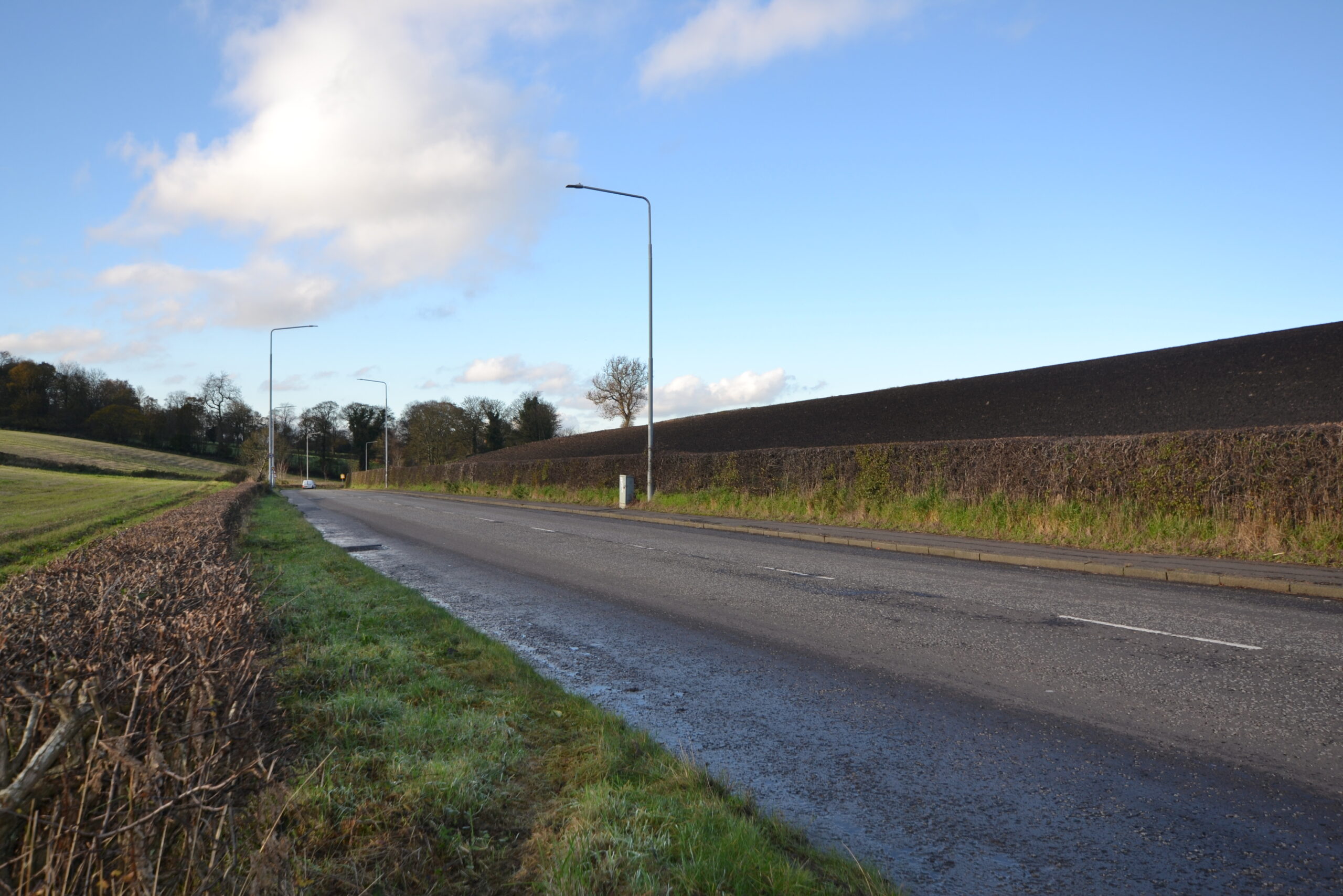
- Existing Housing Along B9080
-
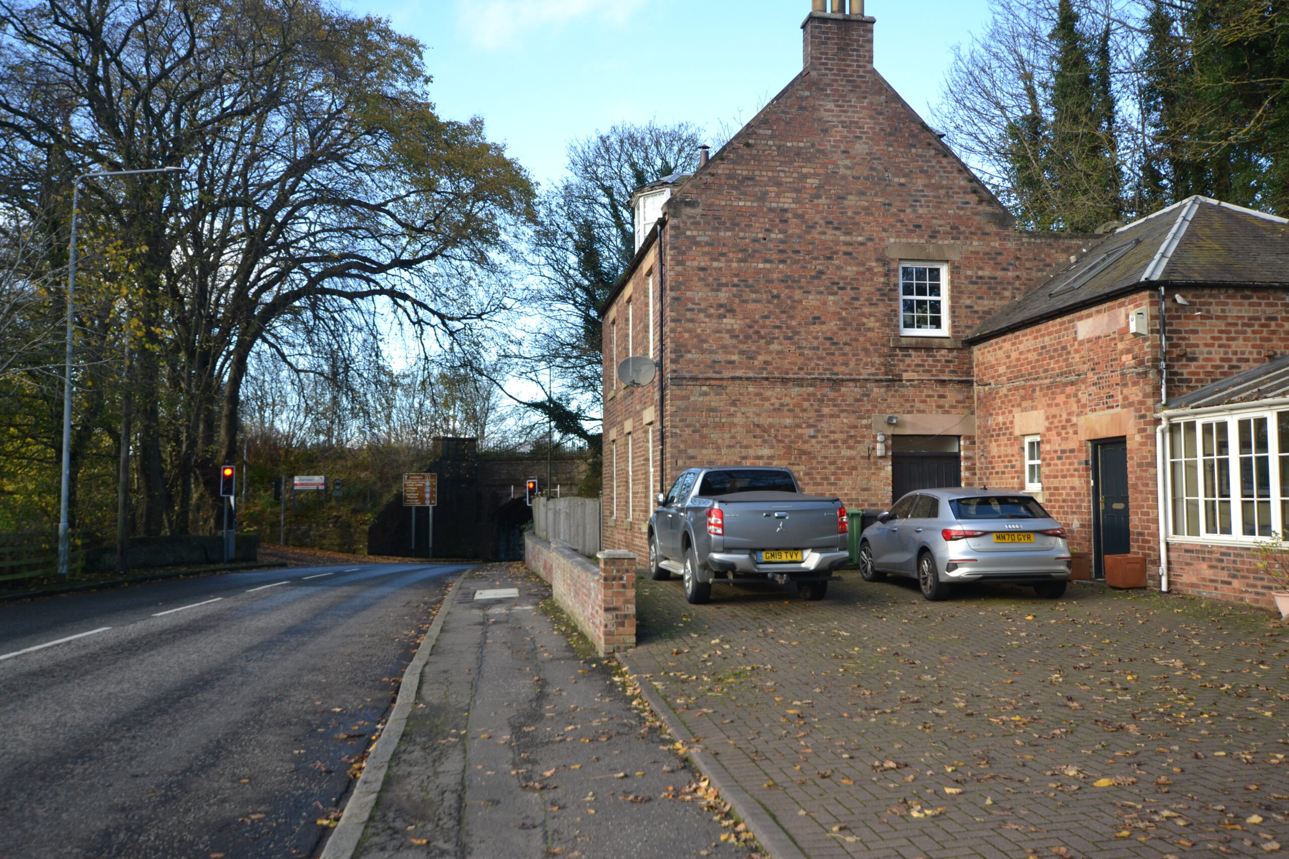
- Existing House at Canal Bridge on Western Edge of Site
-
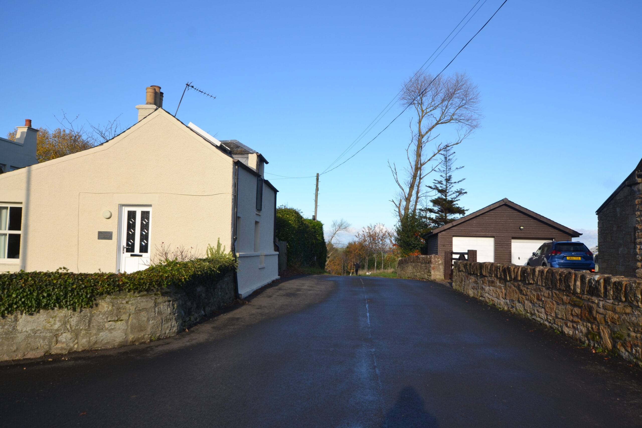
- Existing Houses Either Side of Farm Access Road along Eastern Boundary
-
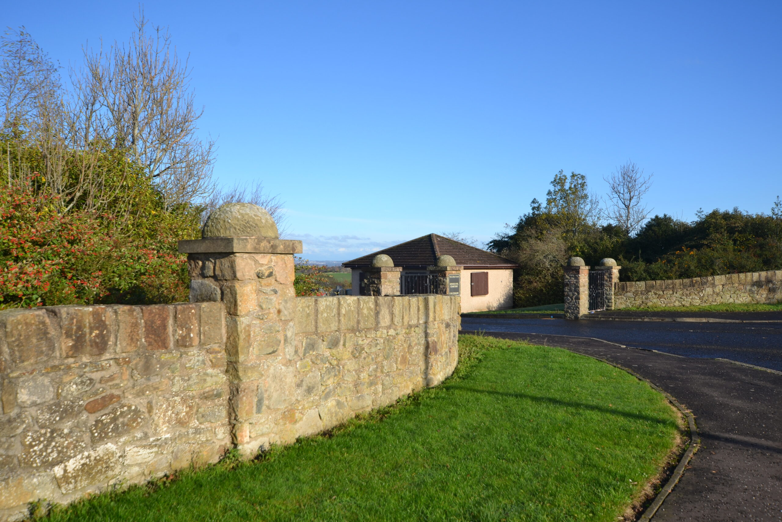
- Existing Access to Cemetary from B9080
-
- View Over Site to North West from B9080
-
- View North Over Site from Farm Access Boundary Road Along Eastern Boundary
-
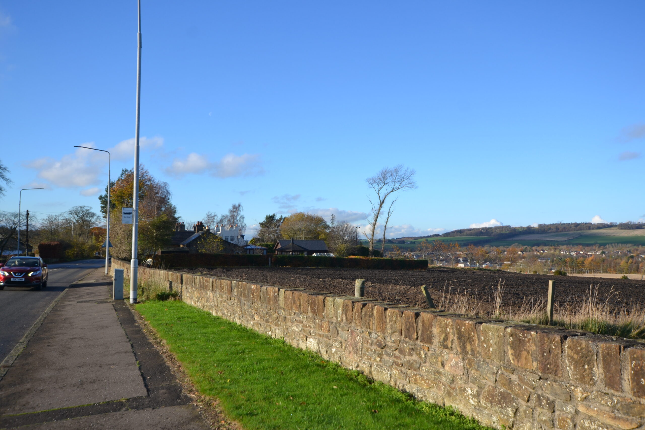
- View West Towards Site from B9080
-
- View South Over the Site from Union Canal Towpath
Site Topography

Planning Policy Context
The development plan for the site comprises National Planning Framework 4 (‘NPF4’), adopted on 13 February 2023 and the West Lothian LDP, adopted on 4 September 2018.
In addition, Linlithgow is covered by a non-statutory Local Place Plan (‘LPP’). LPP’s are community led plans that were introduced by The Planning (Scotland) Act 2019 to encourage communities to be more active participants in planning for their futures.
Local Development Plan 2018
The site is identified within the adopted West Lothian LDP 2018 as a site for housing. The LDP estimates a site area of 20ha and capacity of approximately 200 units. However the capacities identified are indicative only and sites require further design and analysis to establish an appropriate development density. The LDP also identifies the following requirements for the masterplan:
- Junction improvements
- Canal bridge crossing required
- Provision of pedestrian access from the canal to the railway station required
- Capacity issues relative to Low Port Primary School and Linlithgow Academy require to be addressed
- Flood Risk Assessment required
- Archaeological Assessment may be required
- Airport restrictions to be observed
- Coal mining investigation may be required
- Proposals must be sensitively designed to respect the Union Canal which is a Scheduled Ancient Monument
- Investigation into existing houses on the Edinburgh Road and potential connection to mains drainage and other utilities
These matters will be fully addressed as part of the proposal and subsequent planning application(s).


Local Place Plan 2024-2034
Linlithgow also benefits from a Local Place Plan which has been prepared in accordance with latest planning guidance to inform any future local development plans. The pro-active document has been produced by local people (in this case the Linlithgow Planning Forum) who want to have a ‘positive influence on the future planning of development in their area’.
Whilst the purpose is to inform the LDP, it is the intention of the applicant and the design team to take cognisance of the plan and engage with its members moving forward.
Preliminary Design Concept
The initial concept for the site involves creating a more positive environment along the Union Canal and improving connectivity into Linlithgow. This includes new open space and play areas along the canal, which will improve biodiversity and provide views out of the site to the north and west. The topography also suggests this is the right approach to minimise retention.
The LDP identifies a requirement for an additional crossing point over the canal which will also be part of the emerging proposals. The site has the potential to accommodate around 230 new affordable and private homes.

